Never miss a delivery milestone
Render uniquely enables fiber and wireless network operators to efficiently manage large volumes of geospatial construction data and meet aggressive network expansion and delivery plans.
Delivery confidence enabled by real-time, geospatial intelligence
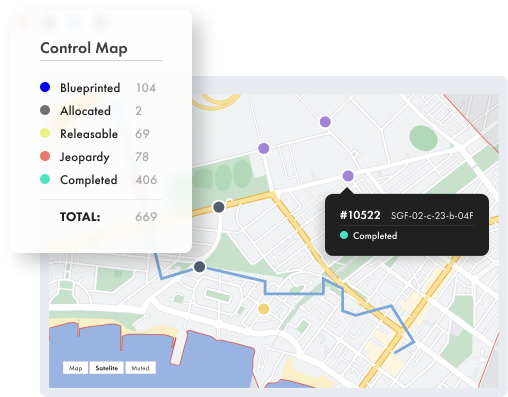
Dynamically meet the needs of all project stakeholders with access to real-time geospatial progress views, and flexibility to adjust to the changing priorities of delivery teams and customers.
270%
1.03m
800k

Build with a customer-first approach
In Construction
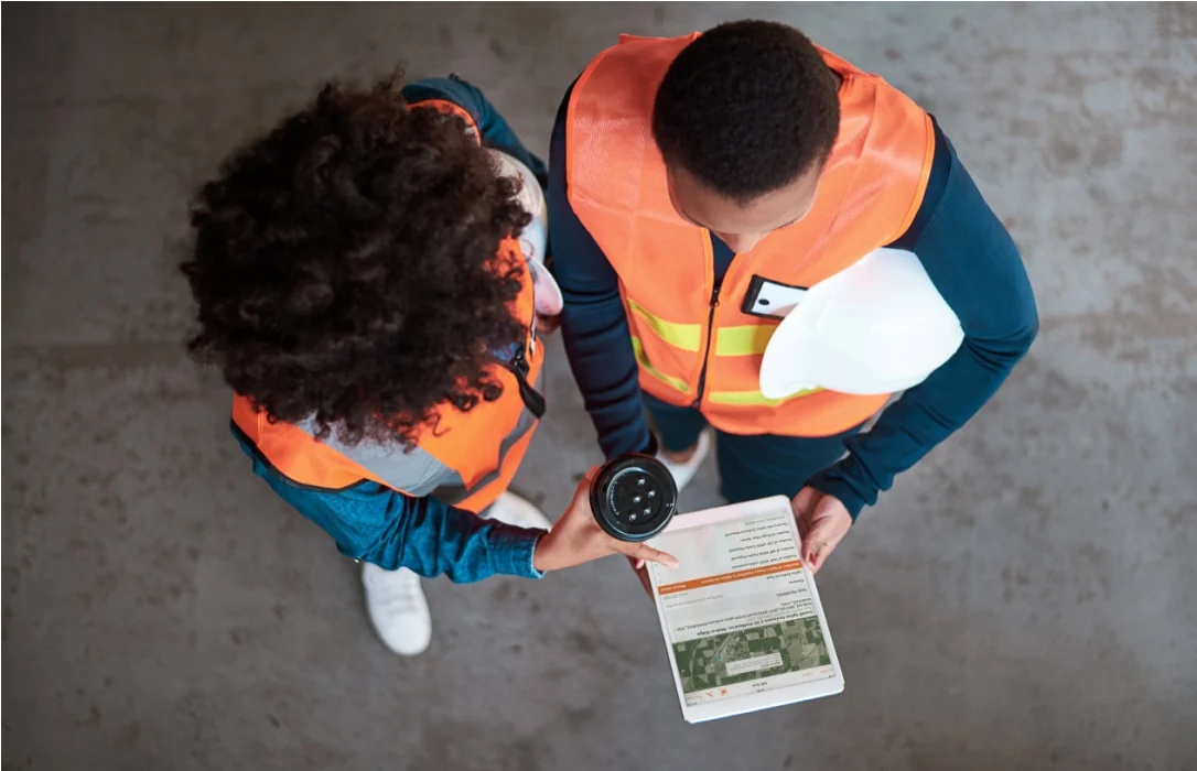
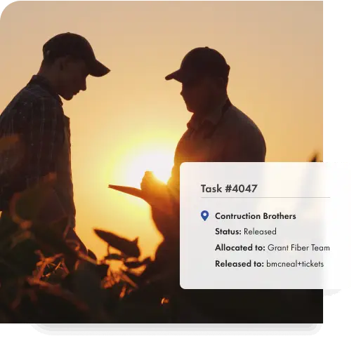
Digital task-level scope allows you to deploy in line with customer or revenue prioritization. Field crews capture mandatory data requirements, enabling consistent and accurate As-built and redline data to be collected at each step of the construction process.
In Operations
As-built and redline data is delivered in real-time directly from the field for downstream system utilization, maintaining an accurate record of the network and any changes from design to handover.
The Outcome?
Streamlined customer connections and significantly improved speed-to-market.

Significantly reduce delivery risk
Make project decisions based on real-time construction insights from the field to track performance of programs or a portfolio in an integrated, unified view.

Increase confidence in construction data
Downstream requirements are mapped to As-built data collection, ensuring field teams capture consistent data to streamline customer and operations processes.

Meet and exceed project milestones
Construction is driven by a task-level digital scope and sequenced to optimal delivery providing a new level of predictability and visibility into the delivery plan.

Eliminate paper from network construction
Access a unified geospatial view of end-to-end portfolio data – collected electronically and progressively – replacing all manual and duplicated data processes. Render’s unique scoping process fully automates the creation and management of work tasks including a granular forecast versus the actual view of material and labor units utilized.
Our customers say it best
You have visibility of one source of geospatial data, that’s huge. Render has created a connection between design, field engineering, the procurement of materials, and final operations handover. That streamlining is something that has never been done before.

Previously a team of dedicated office resources worked around the clock to manage construction. With Render, our administration resourcing requirements have reduced by 60% and time to-invoice was brought forward from 3 months to under 30 days.
.jpg)
Productivity is off the charts, data integrity is high, and construction costs are down, all without ever touching a piece of paper. Now I can’t imagine trying to implement a large-scale utilities project without Render.

Render brings together the ideas that we have to build a better network. The platform is the glue that connects disparate sources of data, disparate methodologies, and the management team deliver best practices that we can need for our customers. That's a solution instead of a product.

With real-time, accurate data you are eliminating as-built reconciliation between the field and the office. This immediate visibility ensures little to no latency in decision making.


